|
|
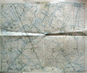
TRENCH MAP:
Ligny-le-Petit. Blank message form to reverse. Scale 1:10,000.
Fldg. paper trench map, 40x33cm approx., showing detailed German trenches south of Neuve-Chapelle inc. Bois du Biez, Port Arthur, The Pope's Nose, Shepherd's Redoubt &c., south to d'Avoue Farm & Lorgies. Trenches corrected to 7/9/1918. VG & interesting local sheet printed by Fd. Survey Bn., RE, 10/9/1918, with unused message form printed on reverse.
#70798
|
 £65 |
|
|